Mostrando 1492 resultados
Archival description 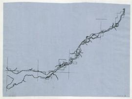
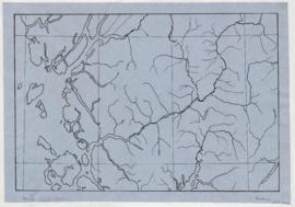
- 29-10-A-13
- Dossiê
- 1965-1976
Parte deWilson Duff fonds
Northwest coast and plains influences
- 29-10-D-05
- Dossiê
- 1965-1976
Parte deWilson Duff fonds
Item consists of outline map coloured to show eastward and westward influences on First Nations people in British Columbia and northwestern U.S. Stained. Encapsulated.
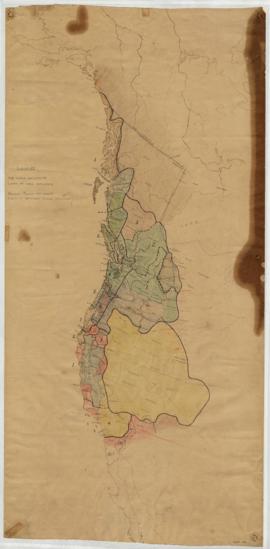
- 29-10-D-06
- Dossiê
- [1957?]
Parte deWilson Duff fonds
Item is a published map with ms. notations showing the Tlingit, Haida, Kwakiutl, Nootka, Kargani, Tsetsaut, Tahltan, Selani, Carrier, and Chilcotin. Annotations also show village names. Inset: Canada.
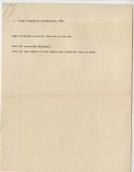
Page 5 - Key to map of BC's Indigenous population distribution in 1835 (Item d)
- 29-12-04-e
- Item
Parte deWilson Duff fonds
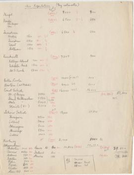
Page 6- 1800 Population (My estimates)
- 29-12-04-f
- Item
Parte deWilson Duff fonds
Pages 8-10 - Census of Indigenous tribes
- 29-12-04-h
- Item
Parte deWilson Duff fonds
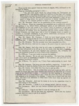
- 29-6-A-186-a
- Part
Parte deWilson Duff fonds
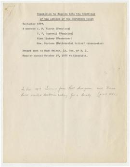
- 29-6-B-36-e
- Part
Parte deWilson Duff fonds
- 29-6-B-36-f
- Part
Parte deWilson Duff fonds
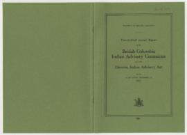
- 29-6-B-44-d
- Part
Parte deWilson Duff fonds
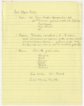
- 29-6-B-44-i
- Part
Parte deWilson Duff fonds
- 29-6-B-44-k
- Part
Parte deWilson Duff fonds
- 29-6-B-44-l
- Part
Parte deWilson Duff fonds
- 29-5-53-a
- Part
Parte deWilson Duff fonds
- 29-5-53-f
- Part
Parte deWilson Duff fonds
- 29-5-53-g
- Part
Parte deWilson Duff fonds
- 29-5-53-h
- Part
Parte deWilson Duff fonds
- 29-5-53-j
- Part
Parte deWilson Duff fonds
- 29-5-53-k
- Part
Parte deWilson Duff fonds
Resultados 161 a 180 de 1492