- 29-10-A-11
- Bestanddeel
- 1965-1976
Part of Wilson Duff fonds
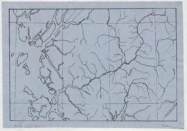
Map is marked "8 mi base."
1492 results with digital objects Show results with digital objects
Part of Wilson Duff fonds
Map is marked "8 mi base."
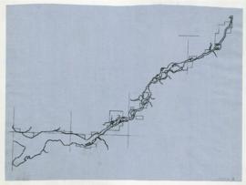
Part of Wilson Duff fonds
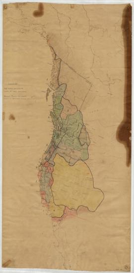
Northwest coast and plains influences
Part of Wilson Duff fonds
Item consists of outline map coloured to show eastward and westward influences on First Nations people in British Columbia and northwestern U.S. Stained. Encapsulated.
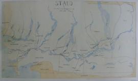
Part of Wilson Duff fonds
Item is a published map with ms. notations showing the Tlingit, Haida, Kwakiutl, Nootka, Kargani, Tsetsaut, Tahltan, Selani, Carrier, and Chilcotin. Annotations also show village names. Inset: Canada.
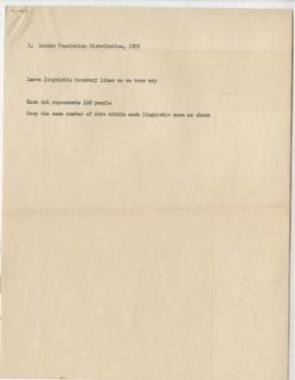
Page 5 - Key to map of BC's Indigenous population distribution in 1835 (Item d)
Part of Wilson Duff fonds
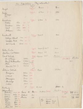
Page 6- 1800 Population (My estimates)
Part of Wilson Duff fonds
Pages 8-10 - Census of Indigenous tribes
Part of Wilson Duff fonds
Part of Wilson Duff fonds
Part of Wilson Duff fonds
Part of Wilson Duff fonds
Part of Wilson Duff fonds
Part of Wilson Duff fonds
Part of Wilson Duff fonds
Part of Wilson Duff fonds
Part of Wilson Duff fonds
Part of Wilson Duff fonds
Part of Wilson Duff fonds
Part of Wilson Duff fonds
Part of Wilson Duff fonds
Part of Wilson Duff fonds