- 29-1
- Series
- 1949-1950
Part of Wilson Duff fonds
Series consists of notes and papers written by Duff when he was an anthropology student at UBC.
1492 results with digital objects Show results with digital objects
Part of Wilson Duff fonds
Series consists of notes and papers written by Duff when he was an anthropology student at UBC.
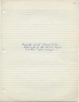
Student's paper - Haida - property of lineages
Part of Wilson Duff fonds
Part of Wilson Duff fonds
Suggested relations to the Fraser River Culture complex by Gerald Turnbull
Part of Wilson Duff fonds
Part of Wilson Duff fonds
Symposium on ethics in anthropology field work
Part of Wilson Duff fonds
Talk on the Indian land question
Part of Wilson Duff fonds
Tapes from Vancouver Art Gallery for Exhibit
Part of Wilson Duff fonds
Part of Wilson Duff fonds
Series consists of records created and collected by Duff relating to his work as professor in the Department of Anthropology and Sociology at the University of British Columbia.
Part of Wilson Duff fonds
Part of Wilson Duff fonds
Item is a copied map that shows territorial boundaries of Northwest coast native people. Added notations identify Tlingit, Tsimshian and Haida territories and clans.
Copy of portion of map titled British Columbia Native Indians, Distribution of Ethnic Groups - 1850, Duff-CM-45. Encapsulated.
Part of Wilson Duff fonds
Part of Wilson Duff fonds
Item is a copied map that shows Kitwancool territories and villages, rivers and lakes referred to in "Territories of the Kitwancool" chapter in Histories, Territories, and Laws of the Kitwancool. Title taken from duplicate found in Histories. Encapsulated.
Territory and reserves, and village sites of Kwawkewlth
Part of Wilson Duff fonds
Item is a published map with ms. additions. Notations consist of attached typed labels showing village sites, reserve numbers and acreage. Marked "Map 5." Encapsulated. Base map: Sheet 92 L/11 East : Port McNeill, British Columbia. -- 2nd ASE ed. / published by the Army Survey Establishment, R.C.E., Ottawa, 1958.
Part of Wilson Duff fonds
Territory, reserves and village sites of
Part of Wilson Duff fonds
Item is a published map with ms. additions. Notations consist of attached typed labels showing village sites of Kwawkewlth territory, and some acreage. Marked "Map 4." Encapsulated. Base map: Sheet 92 L/11 West Port McNeill, Rupert District, British Columbia. -- 2nd ed. / published by the Army Survey Establishment, Ottawa, 1958.
Text of Kitwancool sign by Peter Allik Petersenn
Part of Wilson Duff fonds
Part of Wilson Duff fonds
Part of Wilson Duff fonds