Anthropology 301 Gitksan - Kitwancool (301-8)
- 29-6-A-044
- Dossiê
- [1967-1968?]
Parte deWilson Duff fonds
Anthropology 301 Gitksan - Kitwancool (301-8)
Parte deWilson Duff fonds
Anthropology 301 Tsimshian (301-1-6)
Parte deWilson Duff fonds
Anthropology 301 Tsimshian (Week 7)
Parte deWilson Duff fonds
Anthropology 301 Land question (week 8)
Parte deWilson Duff fonds
Anthropology 301 Tsimshian 1)Kitwancool 2)Kitwancool 3)Alaska totems (week 5)
Parte deWilson Duff fonds
Anthropology 502 Ethnohistory sessions
Parte deWilson Duff fonds
Anthropology 502 Ethnohistory (culture) (502-5)
Parte deWilson Duff fonds
Anthropology 502 Duff approaches (502-2)
Parte deWilson Duff fonds
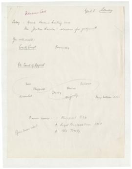
Lecture on Nanaimo case and Indian title
Parte deWilson Duff fonds
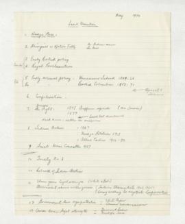
Talk on the Indian land question
Parte deWilson Duff fonds
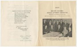
B.C. Indian Advisory Committee
Parte deWilson Duff fonds
Parte deWilson Duff fonds
Parte deWilson Duff fonds
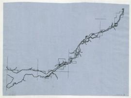
Map is marked "16 mi."
Parte deWilson Duff fonds
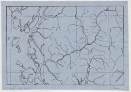
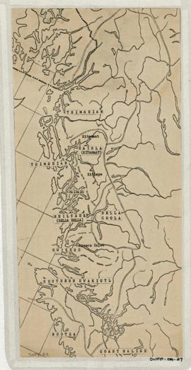
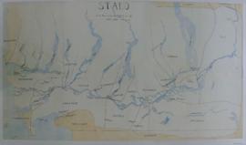
Item is copied base map with added notations showing location and extent of Tsimshian, Kwakiutl, Nootka, Coast Salish and Bella Coola territories. Includes some place names. Base map: Cental coast base map, Duff-CM-5. Encapsulated.
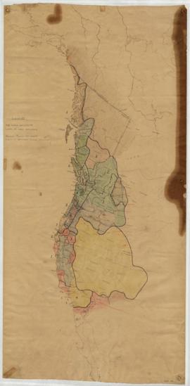
Southern Kwakiutl villages and tribes
Parte deWilson Duff fonds
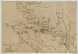
Item is a base map with ms. additions showing territories and names of South Kwakiutl tribes, names and locations of former and current villages, and non-Indian settlements. Includes legend. Marked "W. Duff 1966." Encapsulated.
Base map: Southern Kwakiutl base map, Duff-CM-14.
Parte deWilson Duff fonds
Item is a base map with added notations showing territories of South Kwakiutl tribes; former and present villages; and non-Indian settlements. Includes legend. All typed names of tribes and villages have been crossed through with pencil.
Item appears to be a working copy or preliminary draft of item #40. Sheets originally taped together.
Encapsulated. Base map: Southern Kwakiutl base map, Duff-CM-14.
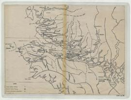
Northwest coast and plains influences
Parte deWilson Duff fonds
Item consists of outline map coloured to show eastward and westward influences on First Nations people in British Columbia and northwestern U.S. Stained. Encapsulated.
Parte deWilson Duff fonds
Item is a published map with ms. notations showing the Tlingit, Haida, Kwakiutl, Nootka, Kargani, Tsetsaut, Tahltan, Selani, Carrier, and Chilcotin. Annotations also show village names. Inset: Canada.
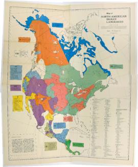
Map of North American Indian Languages /compiled by C.F. and F.M. Voegelin
Parte deWilson Duff fonds
Item is a published map that shows the distribution and extent of 10 major North American language families and subdivisions. Faded and perforated.Published by Rand McNally for American Ethnological Society, 1966.