- 134-1
- Stuk
- 1969
Part of E. Polly Hammer fonds
3034 results with digital objects Show results with digital objects
Part of E. Polly Hammer fonds

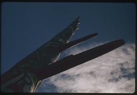
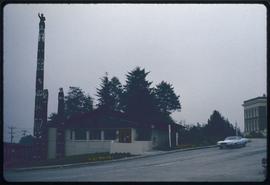
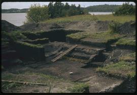
Totem poles on ground, Stanley Park, Vancouver, B.C.
Part of E. Polly Hammer fonds
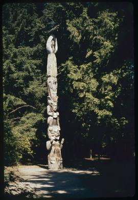
Top of tallest pole, carved by Mungo Martin, Beacon Hill Park, Victoria, B.C.
Part of E. Polly Hammer fonds
Indian carver, Thunderbird Park, Victoria, B.C.
Part of E. Polly Hammer fonds
Part of E. Polly Hammer fonds
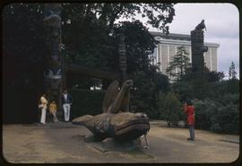
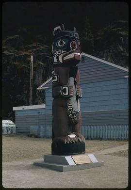
Kwakiutl (carved by Mungo Martin), Alert Bay sea lion pole #2, Totem Park - UBC, Vancouver
Part of E. Polly Hammer fonds
Originally carved by Mungo Martin in 1902 (Alert Bay). Refurbished by Mungo Martin in 1949. Erected in UBC Totem Park and moved to MOA Great Hall c. 1976.
Bear totem carved by Henry Hunt, Kelsey Bay, B.C.
Part of E. Polly Hammer fonds
Part of E. Polly Hammer fonds
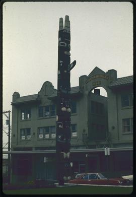
Museum of Northern British Columbia, Prince Rupert, B.C.
Part of E. Polly Hammer fonds
Grizzly bear pole of Skedans (copy by William Jeffrey), City Hall, Prince Rupert, B.C.
Part of E. Polly Hammer fonds
Part of E. Polly Hammer fonds
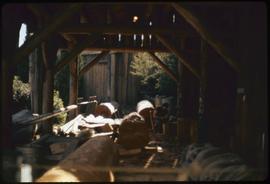
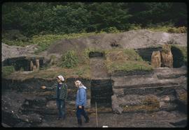
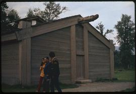
Carving shed (men's), K-San, B.C.
Part of E. Polly Hammer fonds
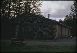
Frog house replica, K-san, B.C.
Part of E. Polly Hammer fonds
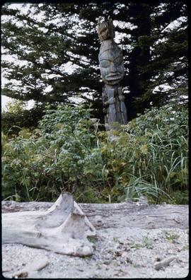
John Kelley, Village Island, Alaska - Totem
Part of E. Polly Hammer fonds
Part of Wilson Duff fonds
File consists of slides including: exhibits at Museum of Natural History, exhibits at Museum of History and Technology, July 1970, trip to Hazelton, Rupert, and other locations. Images include Kitwancool, Skeena and Kitwanga poles and Kispiox totems.
Part of Wilson Duff fonds
File consists of slides including: beach views, dances at Kitsilano showboat dances, Aiyansh, Kispiox, Kitwancool, Kitwanga, Ksan, Kits canoe races.
Part of Wilson Duff fonds
Item is a copied map that shows Kitwancool territories and villages, rivers and lakes referred to in "Territories of the Kitwancool" chapter in Histories, Territories, and Laws of the Kitwancool. Title taken from duplicate found in Histories. Encapsulated.
Part of Wilson Duff fonds
Item is a copied map that shows places, rivers and lakes of Kitwancool territory referred to in "History of the wars with the Tse-tsaut: How the village of Git-an-yow became Kitwancool" chapter in Histories, Territories, and Laws of the Kitwancool. Encapsulated.
Part of Wilson Duff fonds
Item is a copied map that shows territorial boundaries of the Kitwancool, territories of the Wolf and Frog clans, villages, and numbered sites. Inset: Location map. No legend provided for numbered sites. Based on "Territories of the Kitwancool" map included in Histories, Territories, and Laws of the Kitwancool, found in Duff's textual records, box 2, file 8. Mended with document repair tape in 1984. Encapsulated.
Part of Wilson Duff fonds