- 51-01-35-a039829
- Item
- 1957
Part of Harry B. Hawthorn fonds
3034 results with digital objects Show results with digital objects
Part of Harry B. Hawthorn fonds
Part of Harry B. Hawthorn fonds
Part of Harry B. Hawthorn fonds
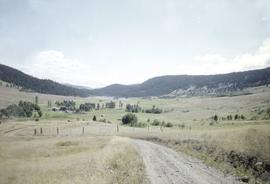
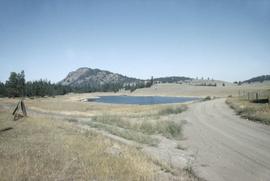
Image of fields, hills and dirt road in the Nicola Valley region of BC.

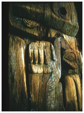
New pole in Old Massett, Robt. Davidson, Massett, Aug. 69
Part of Harry B. Hawthorn fonds
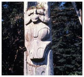
Image of a totem pole in Massett, Haida Gwaii. The pole was carved by Robert Davidson, and is seen just after it was raised. A crowd is still gathered for the pole raising ceremony.
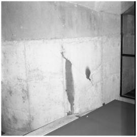
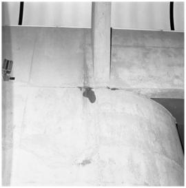
Part of Anthony Carter fonds
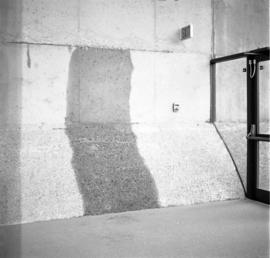
Image of water stains on the walls at the Museum of Anthropology at the University of British Columbia.
Anthony Carter
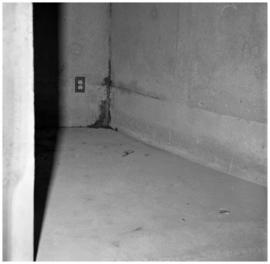
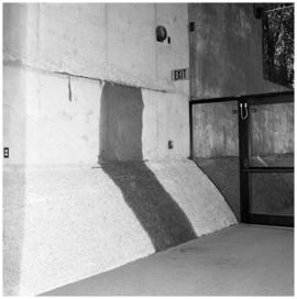
Part of Anthony Carter fonds
Image of water stains on the walls at the Museum of Anthropology at the University of British Columbia.
Anthony Carter
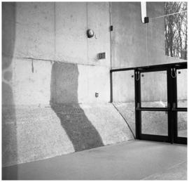
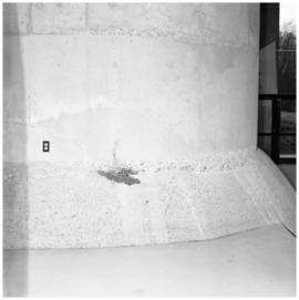
Part of Anthony Carter fonds
Image of water stains on the walls at the Museum of Anthropology at the University of British Columbia.
Anthony Carter
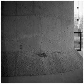
Part of Anthony Carter fonds
Image of water stains on the walls at the Museum of Anthropology at the University of British Columbia.
Anthony Carter
Part of Anthony Carter fonds
Image of water stains on the walls at the Museum of Anthropology at the University of British Columbia.
Anthony Carter
Part of Anthony Carter fonds
Image of water stains on the walls at the Museum of Anthropology at the University of British Columbia.
Anthony Carter
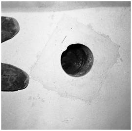
Part of Anthony Carter fonds
File consists of images of water stains on the walls and floor of the Museum of Anthropology at UBC.
Anthony Carter
Part of Anthony Carter fonds
Image of water stains on the walls at the Museum of Anthropology at the University of British Columbia.
Anthony Carter
Part of Anthony Carter fonds
Image of water stains on the walls at the Museum of Anthropology at the University of British Columbia.
Anthony Carter
Part of Anthony Carter fonds
Image of water stains on the walls at the Museum of Anthropology at the University of British Columbia.
Anthony Carter
Part of Harry B. Hawthorn fonds
Image of Douglas Lake, in the Nicola Valley region of British Columbia.
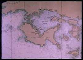
Nautical chart of Walters Island
An image showing a sea map of Walters Island, a small blue circle at the top center indicates the approximate location of the Kyuquot village. According to the documentation included with the filmstrip, the description of the image states "Kyuquot as shown on chart (A chart is a sea-map used by fishermen and boaters.) Compare the chart and the map."
Native Youth Programme study trip to Alert Bay, Campbell River, and Port Angeles (40 min)
Nass River (Nisga'a nation), 1970
Part of Anthony Carter fonds
File consists of images from the Nass River valley in British Columbia. Subjects include scenery, people, and village scenes.
Anthony Carter
Part of Anthony Carter fonds
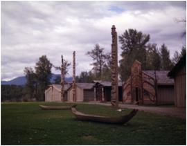
Image of totem poles, canoes, and longhouses(?) in the Nass River valley of BC.
Anthony Carter
Part of Anthony Carter fonds
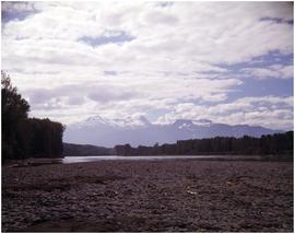
Image of distant mountains and water, likely the Nass River, seen from the river's rocky shoreline.
Anthony Carter