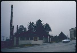
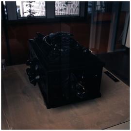
Museum of Northern British Columbia, Prince Rupert, B.C.
- 134-a040131c
- Item
- 13 Aug. 1972
Parte deE. Polly Hammer fonds
2988 resultados con objetos digitales Muestra los resultados con objetos digitales
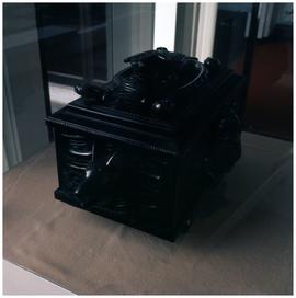
Museum of Northern British Columbia, Prince Rupert, B.C.
Parte deE. Polly Hammer fonds
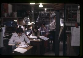
Parte deMOA General Media collection
View of the office space at the old Museum of Anthropology location in the library basement.
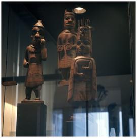
Parte deAnthony Carter fonds
Image of Haida carvings on display at the Museum of Anthropology at the University of British Columbia.
Sin título
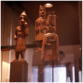
Parte deAnthony Carter fonds
Image of Haida carvings on display at the Museum of Anthropology at the University of British Columbia.
Sin título
Parte deAnthony Carter fonds
Image of Haida carvings on display at the Museum of Anthropology at the University of British Columbia.
Sin título
Parte deAnthony Carter fonds
Image of Haida carvings on display at the Museum of Anthropology at the University of British Columbia.
Sin título
Parte deAnthony Carter fonds
Image of Haida carvings on display at the Museum of Anthropology at the University of British Columbia.
Sin título
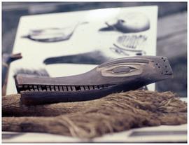
Mythological creatures, Sproat Island, petroglyph reproduction, Centennial Museum, Nanaimo, B.C.
Parte deE. Polly Hammer fonds
Parte deReverend Thomas Crosby fonds
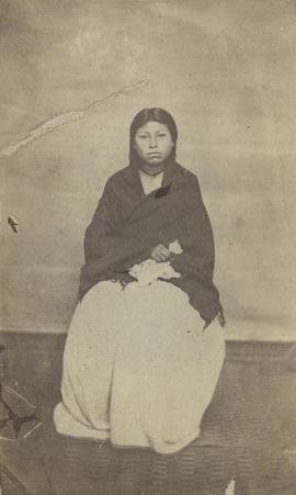
Image is a posed portrait of a seated woman wearing a dress and shawl. Handwritten inscription on verso reads "Nanaimo Woman"
Parte deReverend Thomas Crosby fonds
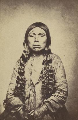
Image is a posed portrait of a woman viewed from the waist up. Handwritten inscription on verso reads "Nanaimo Woman B. C."
Parte deAnthony Carter fonds
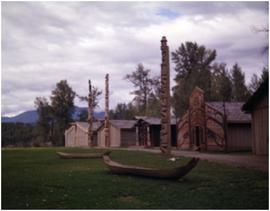
Image of totem poles, canoes, and longhouses(?) in the Nass River valley of BC.
Sin título
Parte deAnthony Carter fonds
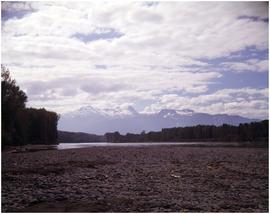
Image of distant mountains and water, likely the Nass River, seen from the river's rocky shoreline.
Sin título
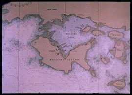
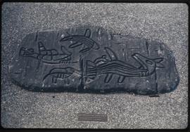
Nautical chart of Walters Island
An image showing a sea map of Walters Island, a small blue circle at the top center indicates the approximate location of the Kyuquot village. According to the documentation included with the filmstrip, the description of the image states "Kyuquot as shown on chart (A chart is a sea-map used by fishermen and boaters.) Compare the chart and the map."
Parte deHarry B. Hawthorn fonds
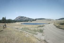
Image of Douglas Lake, in the Nicola Valley region of British Columbia.
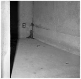
Parte deAnthony Carter fonds
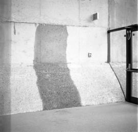
Image of water stains on the walls at the Museum of Anthropology at the University of British Columbia.
Sin título
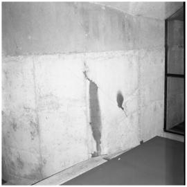
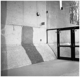
Parte deAnthony Carter fonds
Image of water stains on the walls at the Museum of Anthropology at the University of British Columbia.
Sin título
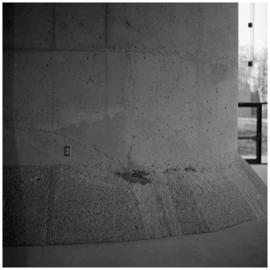
Parte deAnthony Carter fonds
Image of water stains on the walls at the Museum of Anthropology at the University of British Columbia.
Sin título
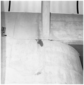
Parte deAnthony Carter fonds
Image of water stains on the walls at the Museum of Anthropology at the University of British Columbia.
Sin título
Parte deAnthony Carter fonds
Image of water stains on the walls at the Museum of Anthropology at the University of British Columbia.
Sin título
Parte deAnthony Carter fonds
Image of water stains on the walls at the Museum of Anthropology at the University of British Columbia.
Sin título