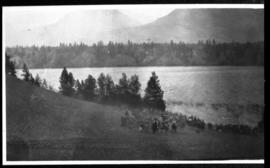
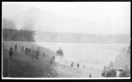
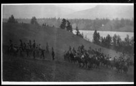
View from the shore of lake with mountains in the distance. Four canoes are visible on the lake; several people can be seen walking on image left and lower center.
View from the shore of lake with mountains in the distance. Several canoes are visible on the lake; three people can be seen walking toward the lake in the lower centre of the print.
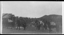
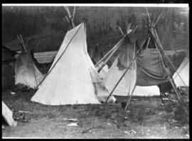
View of several tipis, including some without covers. At least one structure appears on the left side of the image. Brush and hills are visible in the distance.
An image, taken inside of a gymnasium hall, shows four dancers wearing traditional First Nation clothing and walking across the room, a group of people sits on the floor. According to the documentation included with the filmstrip, the description of the image states "Doing the Wild Man dance in the Big Hall at a potlatch celebrating a wedding."
Item is an audio recording of an interview by Wilson Duff with Jonathan Johnson about the geography of the Gitxsan village of Kispiox and surrounding region. According to Tribal Boundaries in the Nass Watershed by Neil J. Stewart (MOA Reading Room, call number 12.7c GIT STE), Jonathan Johnson (1902-1968) of Kispiox was from the House of Xhliimlaxha and had knowledge of territories in the Nass watershed, including his father’s territory at Gwinhagiistxw. In interviews that took place on July 6 and 7, 1965, Duff gathered information about house territories in the Nass and Skeena watersheds to produce a map showing territories and numbered sites at Kispiox, see the Wilson Duff fonds at MOA, Box/File# Mc15, File# 10-B-21.
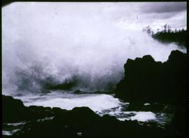
An image showing ocean waves breaking on shore. According to the documentation included with the filmstrip, the description of the image states "During the Winter it rains most days and is often foggy, and there are always some terrible storms. Walter's Cove is protected, but the other side of Walter's Island is open to the full force of a South-East gale! This frame shows a wave smashing into the shore at outside beach. (See accompanying map of Kyuquot.)"